Advanced Diploma in Geographic Information Systems
-
 By
NPTEL
By
NPTEL
- 27/11/2020
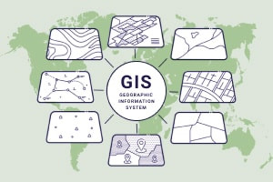
Course Description
This course will begin by introducing you to the meaning of geographic information systems. You will learn about the concepts in GIS, and how to represent data in the real world. You will be informed on how data flows, the different databases, models, and the various opportunities available in the GIS field. This will lead you to ways in which data can be collected, where data can be gotten, and how data can be generated.
Next, this free online course will bring you up to speed with data quality, databases available, and how to use them in geographic information systems. You will further be informed of the various analyses that can be done on the data collected. You will gain an understanding of the software used in mastering tools and signs in geographic information systems. You will then learn about the use of GIS along with other technologies in representing data to the real world.
Lastly, you will be introduced to the global positioning system, which is one of those systems which can be a key technology that drives the geographic information system. You will then gain an understanding of how different data can be collected using a geographic positioning system. This will then lead you to remote sensing, which is, using earth-orbiting satellites or even high altitude planes in order to collect information about images of a region, an area, or a phenomenon. This will further bring you up to speed with spatial analysis which has to do with using a system to derive meaningful information from data.
What you'll learn in this course?
-
Google Earth
-
Technology
-
Science
-
Information Systems
-
Geography
-
GIS
-
Databases
Course Curriculum
NPTEL
India